

11th c.
The dam on the Kolans river that made the Upper Lake, credited to Raja Bhoj
01 — A field guide to the city of lakes
Two lakes in the middle of town, a dam older than most of the city, and evenings that end at the water's edge. A slow guide, written for walking.

02 — Bada Talab
Raised behind an earthen dam in the eleventh century, it still sends drinking water across the city every morning.

03 — Every evening
Walk the lake road around six and half the city is out with you: tea, boats, kites, the long orange light.
[ The city ]
Most cities grew along a road or a river. Bhopal grew around lakes it made for itself: an eleventh-century dam across the Kolans, a lower lake dug in 1794, and a skyline of domes and minarets that still checks its reflection every evening.
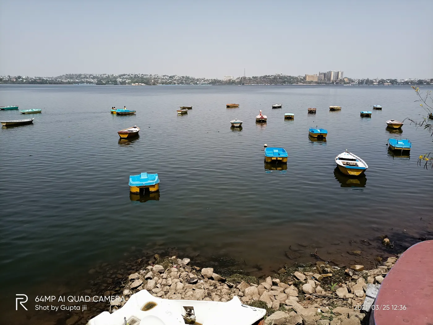 here.full.home.
31km²
of open water in the Upper Lake alone. Together with the Lower Lake it forms the Bhoj Wetland, protected as a wetland of international importance.
11th c.
The dam on the Kolans river that made the Upper Lake, credited to Raja Bhoj
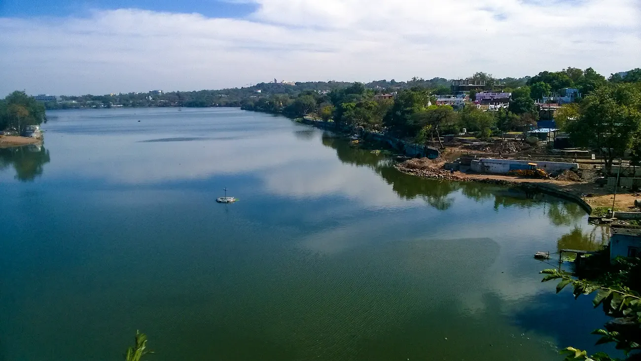
1794
The Lower Lake is dug below it, a second mirror for the old city

2002
Both lakes are listed together as the Bhoj Wetland, a Ramsar site
04 — A walk along the water
0.0km
Five stops, one lake road, about seventy minutes on foot. Start early, before the light gets hard.
Lakes and route: © OpenStreetMap contributors
05 — Before photographs
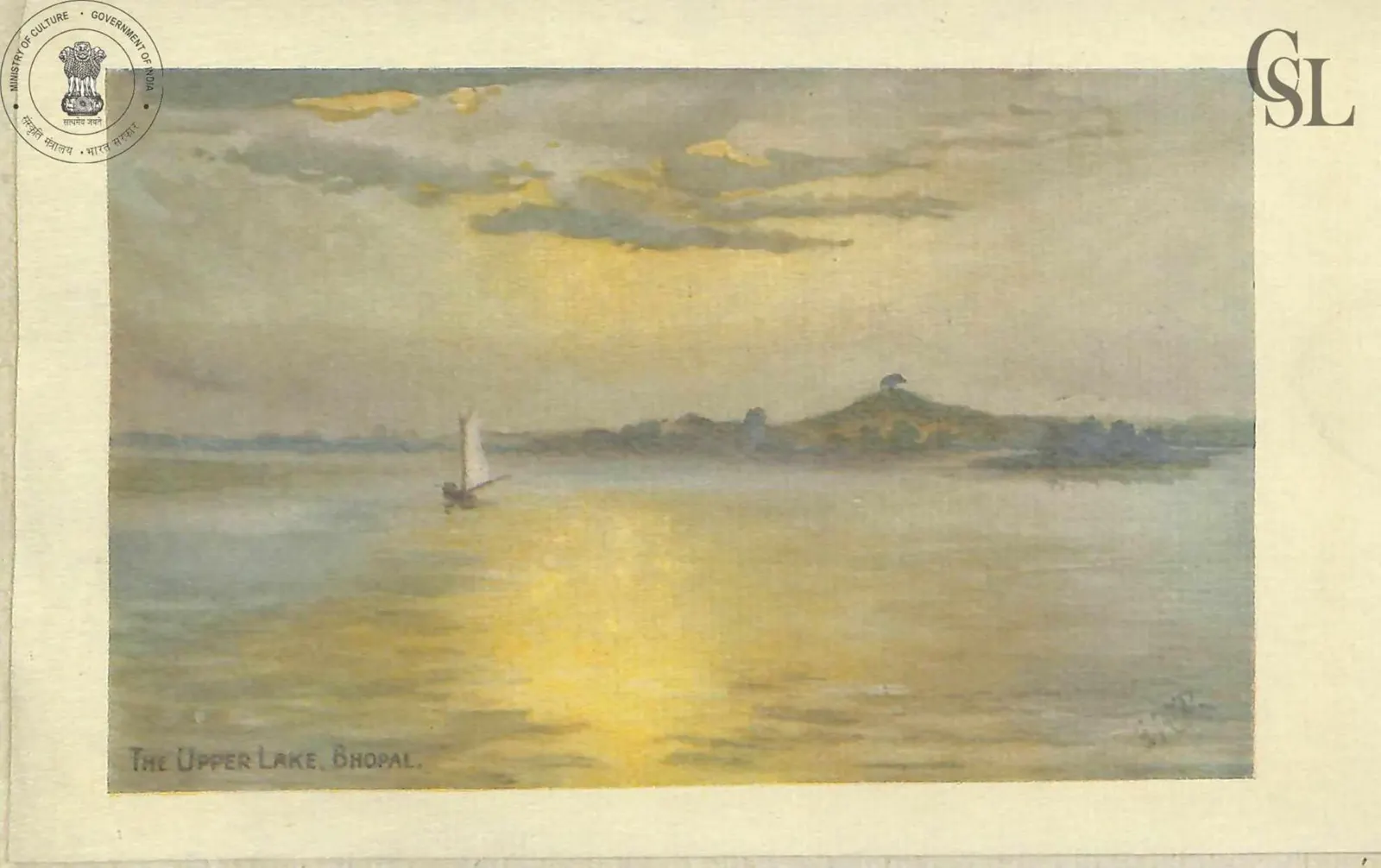
Two plates from Hayat-i-Qudsi, a life of Nawab Qudsia Begum, printed in English in 1918. One looks across the Upper Lake, the other back at the city from the water. Stand at the Boat Club and you can still find both.
Printed 1918Public domain

When the heat goes, the lake road fills up. Statues light up, boats come in, and the old city's domes turn gold in the water.


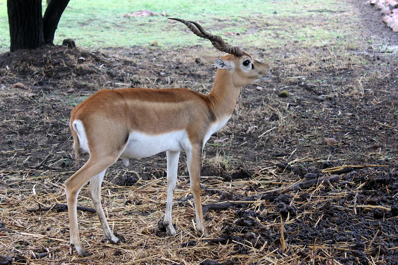
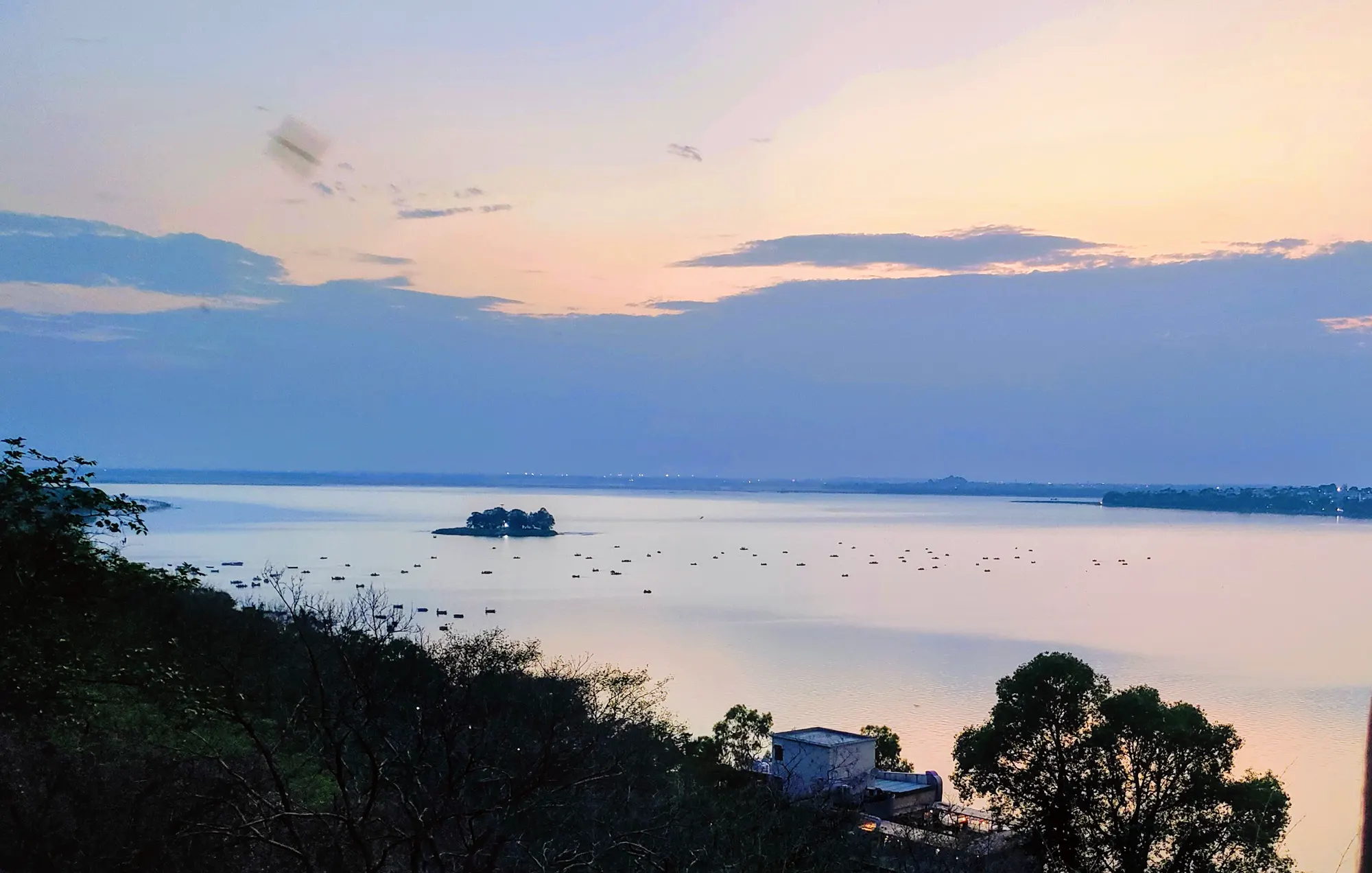
The walk takes an hour or so. The evening takes care of itself.
Walk the route